Capture and analyze
Bring field photography and AI-assisted condition analysis into one workspace.

The platform
SiteLens Pro gives real estate professionals a faster path from field observations to decision-ready property intelligence.
One connected workflow
Bring field photography and AI-assisted condition analysis into one workspace.
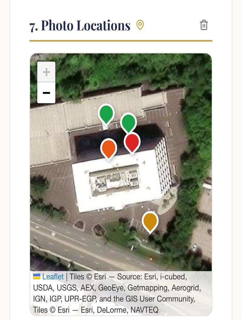
Connect issues to locations, severity, timing, and capital-planning decisions.
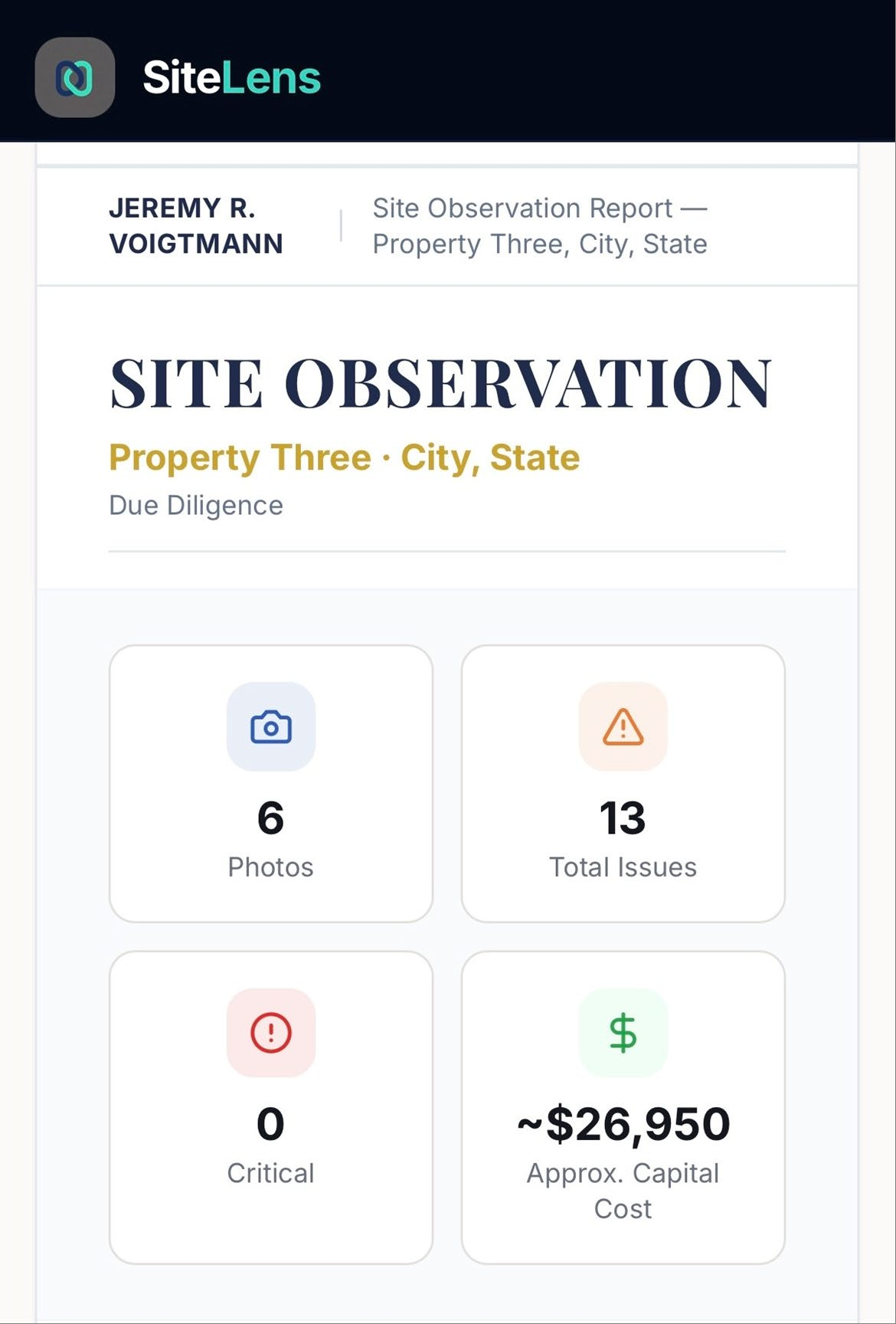
Turn property findings into consistent, decision-ready output for every stakeholder.
Next